GIS/Mapping
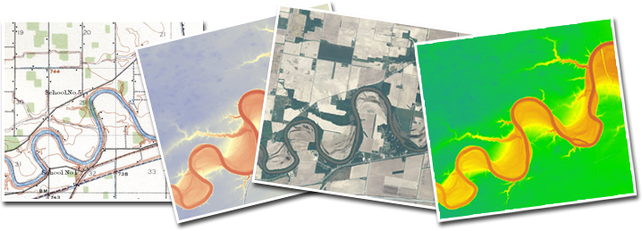
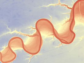 Coldwater uses Geographic Information Systems (GIS) and Global Positioning Systems (GPS) on nearly every single project. These technologies support our other services by expediting field data collection, streamlining spatial data requirements, and providing a means to create maps of project sites that display meaningful information. Our staff also has experience with projects that are driven solely by tasks that require GIS/GPS data collection and analyses (e.g., stream inventories and siting analyses). We offer the latest technologies in the field provided by the Environmental Systems Research Institute (ESRI®) and Trimble®. Coldwater uses Geographic Information Systems (GIS) and Global Positioning Systems (GPS) on nearly every single project. These technologies support our other services by expediting field data collection, streamlining spatial data requirements, and providing a means to create maps of project sites that display meaningful information. Our staff also has experience with projects that are driven solely by tasks that require GIS/GPS data collection and analyses (e.g., stream inventories and siting analyses). We offer the latest technologies in the field provided by the Environmental Systems Research Institute (ESRI®) and Trimble®.
We offer GIS/GPS services that range from local to regional scale and include:
- Remote Sensing and Inventory
- Spatial Analyses
- Siting Assessments
- Map and Graphic Production
- Field Data Collection
- Data Dictionary Development
|